-
Eco Savings EstimatorSavings Estimator
-
Find a DepotLocation
-
Enquiry BasketBasket
-
ExtranetAccount Image Accessability
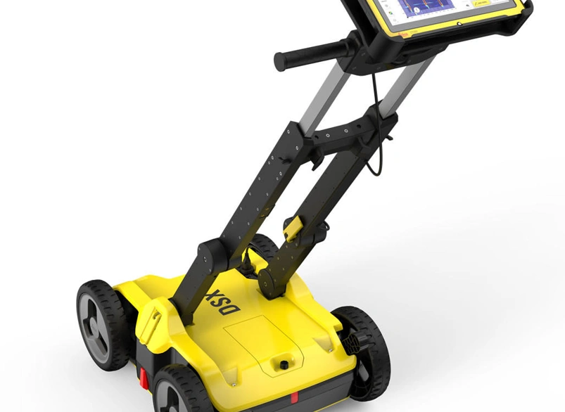
Ground Penetrating Radar - Leica DSX
SY1631Key Features
- Instant 2D/3D Utility Map
- Export utilities in CAD or BIM
- Compatible with major Cloud Services
The Leica DSX is a cutting-edge, non-destructive detection solution designed for quick and precise underground utility locating and mapping. The radar works to detect, visualise and map utilities, utilising a portable hardware. Powered by DXplore software, it provides instant, clear, and accurate visualisations directly in the field.
CAN'T FIND WHAT YOU'RE LOOKING FOR?
Full Description
With a simple and reliable workflow, the DSX ensures seamless utility detection, integrating best practices for maximum efficiency. Its plug-and-play design, compatibility with positioning sensors, and easy export to machine control enable instant 3D utility mapping, optimising productivity like never before. The Leica DSX simplifies underground utility detection with an intuitive interface, enabling accurate mapping in just a few steps—no expert knowledge required. Scan anytime, even in challenging environments, and generate instant 2D/3D utility maps for quick decision-making. High-resolution detection ensures reliable avoidance zones, while smart algorithms verify results for added confidence. With seamless CAD/BIM export, professional on-site reporting, and cloud integration, the Leica DSX offers a complete, survey-grade solution from detection to excavation.
- Weight:
- Detection Range :
- Acquisition speed :
- Scan interval :
- Operating Temperature :
Similar Products
-
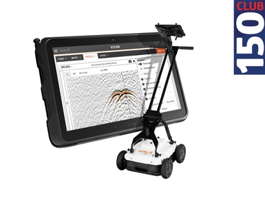
MALA EL Core Penetrating Radar
Key Features
- Cloud-connected to MALA Vision
- Real-time interpretation
- 3D Mapping Capabilities
-
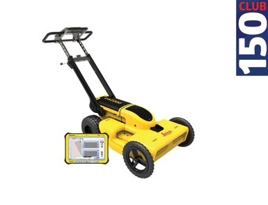
Ground Penetrating Radar - Leica DS2000
Key Features
- GNSS/GIS Smart Atenna
- Dual-frequency antenna
- Simple data storage and export